



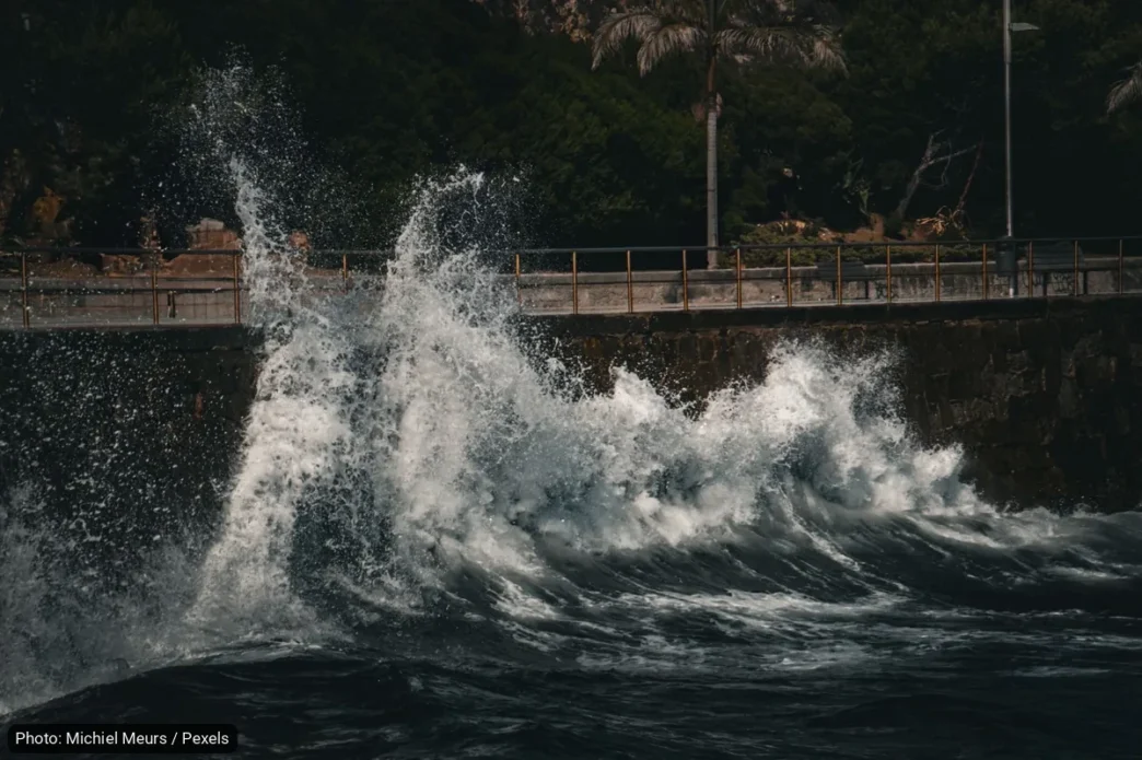
Coastal communities across Baja California Sur should expect noticeably higher tides between November 22 and 27, with the highest water levels forecast for November 24 and 25. The warning comes from the Laboratorio de Investigación en Gestión Integral del Riesgo (LIGIR), a risk-management research lab at the Universidad Autónoma de Baja California Sur (UABCS), which shared the alert on social media.
The lab says tide levels began rising gradually on November 20 and will build toward the peak, according to a report from BCS Noticias. The advisory follows an earlier flooding-risk alert for La Paz issued earlier this month.
Expected Tide Heights by Area
According to the UABCS forecast, La Paz can expect tide heights of roughly 1.7 to 1.9 meters (about 5.6 to 6.2 feet). San Carlos, on the Pacific side near Ciudad Constitución, faces the highest projections in the state at 2.17 to 2.7 meters (7.1 to 8.9 feet).
Laguna San Ignacio and the broader North Pacific region could see levels between 2.1 and 2.5 meters (6.9 to 8.2 feet), while Bahía Concepción, on the Sea of Cortez side near Mulegé, is forecast at 1.7 to 1.9 meters (5.6 to 6.2 feet).
Why Tides Are Running Higher Than Normal
Researchers link the pattern to anomalous sea level variations tied to El Niño, the climate phenomenon known officially as ENSO (El Niño–Southern Oscillation), which periodically warms Pacific waters and raises sea levels along the coast. Satellite data from NOAA, the U.S. National Oceanic and Atmospheric Administration, shows the effect is most pronounced in the northern Pacific side of the peninsula and along the coast of the municipality of Mulegé.
The maximum anomaly now expected is 0.55 meters (about 1.8 feet) above normal tide levels — 0.20 meters (roughly 8 inches) higher than the lab’s previous forecast, prompting researchers to revise their earlier estimates upward.
What Changes Starting November 25
The lab also flagged a secondary concern: increased wave action beginning November 25, which could push sea levels even higher and increase coastal erosion.
Boaters, dock owners and anyone who regularly uses low-lying beach-access roads or waterfront areas should plan around the November 24–25 peak.
What Officials Recommend
LIGIR is advising residents and coastal communities to take preventive measures and to follow official updates from the relevant authorities. No evacuations or closures had been reported as of this writing.
The lab has already raised its estimate once: the maximum expected anomaly of 0.55 meters is 0.20 meters above its previous forecast. Residents and visitors near the water in La Paz, San Carlos, Bahía Concepción and the Laguna San Ignacio area should keep an eye on official channels until the window closes on November 27.
