


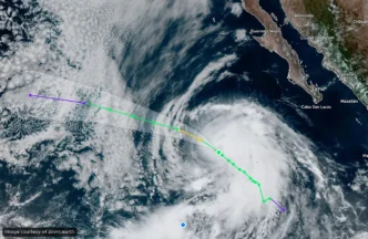
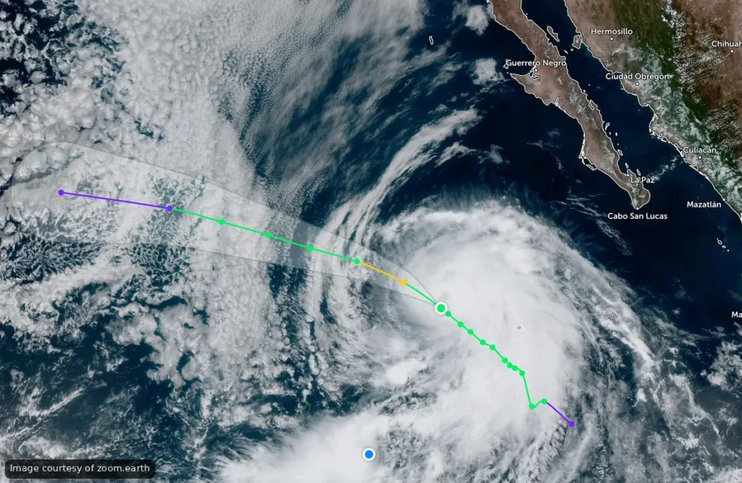
Tropical Storm Iselle continues to gain strength over the Pacific, but residents and visitors can relax. The system is moving away from Baja California Sur and poses no threat to the peninsula.
As of early Sunday morning, Iselle was located approximately 895 kilometers west-southwest of Cabo San Lucas with sustained winds of 100 kilometers per hour and gusts reaching 120 kilometers per hour. The National Meteorological Service said the storm could reach hurricane strength later in the day, but emphasized that it “does not represent a danger to national territory.”
The storm is tracking northwest, steadily moving farther from the coast. No alerts, warnings or special recommendations have been issued for Baja California Sur.
Two Additional Systems Under Watch
While Iselle churns harmlessly offshore, forecasters are monitoring two other areas of disturbed weather south of the peninsula.
The first system, designated EP91, is southwest of Baja California Sur with a 50 percent chance of developing into a tropical depression within the next 48 hours and through the coming week. The U.S. National Hurricane Center said atmospheric conditions are favorable for temporary development as the system moves north, though its organization remains limited for now.
A second low-pressure area is expected to form well south of BCS over the coming days. Development odds are near zero in the short term but climb to 80 percent over the next seven days. Forecast models show this system moving west-northwest, away from the coastline.
No Local Impact Expected
None of the three systems currently pose a direct threat to Baja California Sur. Officials continue routine monitoring to detect any changes in intensity or track, but no precautionary measures are needed at this time.
For residents who remember earlier storms this season, Iselle’s offshore trajectory offers a welcome contrast. Unlike systems that hug the coast and bring rain and wind to the peninsula, this one is steering well clear of land.
The Pacific hurricane season runs through November, and forecasters expect additional storm formation as warm ocean temperatures persist. While development is common this time of year, most systems follow tracks that carry them away from the Baja peninsula rather than toward it.
Meteorological agencies will continue issuing updates as Iselle and the developing systems evolve. For now, the message is straightforward: no danger, no disruption and no reason to change weekend plans.
