


The Los Cabos region experienced an unusual week of seismic activity, with the highest concentration of earthquakes in Baja California Sur recorded near San José del Cabo, according to the National Seismological Service (SSN).
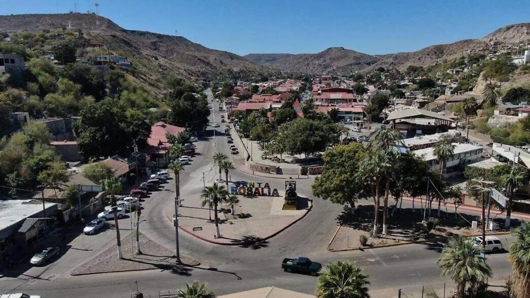
The strongest earthquake during the period occurred outside Los Cabos. On Saturday, July 11, at 12:30 p.m., the SSN recorded a magnitude 3.9 earthquake 71 kilometers northwest of Santa Rosalía in the municipality of Mulegé. The earthquake occurred at a depth of 2.9 kilometers.
Seven Tremors Hit San José del Cabo
Near San José del Cabo, the SSN recorded seven earthquakes on Friday, July 10, with magnitudes ranging from 1.9 to 3.1. All the tremors were centered within a few kilometers of the city.
Seismologists classify the sequence as an earthquake swarm, a series of earthquakes occurring within a relatively short period and confined to a small geographic area without a single dominant mainshock.
The largest earthquake in the swarm measured magnitude 3.1 and struck at 7:41 p.m. northwest of San José del Cabo at a depth of 10 kilometers. A magnitude 2.8 earthquake followed at 9:32 p.m., about five kilometers north of the city at a depth of 12.9 kilometers. At 11:24 p.m., a magnitude 2.6 earthquake occurred three kilometers southwest of San José del Cabo at a depth of 16.2 kilometers.
Earlier that day, the SSN recorded a magnitude 2.2 earthquake at 6:50 p.m. six kilometers southwest of the city and a magnitude 2.1 event at 11:51 a.m. two kilometers south of San José del Cabo. Two other magnitude 1.9 earthquakes were reported at 3:09 a.m. and 9:03 a.m., both southwest of the city.
Affected Neighborhoods and Regional Impact
According to the SSN’s epicenter map, the earthquakes occurred near La Querencia, Las Veredas, Palmilla, the Hotel Zone, Costa Azul, Club Campestre, La Jolla, Cerro Colorado, Hacienda Los Cabos, Centro, Magisterial, Chamizal, Mauricio Castro, Pablo L. Martínez, Privadas de Costa Azul, Vista Hermosa and Primero de Mayo.
The National Seismological Service monitors seismic activity through a nationwide network of stations that determine the location, magnitude, depth and time of earthquakes.
While earthquakes cannot be predicted, the number of tremors recorded near San José del Cabo during the week was noteworthy for the region. Authorities reported no significant damage or injuries associated with the seismic activity.
This article was prepared using information published by El Sudcaliforniano (OEM).
https://oem.com.mx/elsudcaliforniano