




Organizers have released the official route for this year’s SCORE Baja 1000, and for the first time in recent memory the race will both start and finish in San José del Cabo. The 59th edition of the famous off-road race, branded “Cabo to Cabo,” was unveiled worldwide on October 3 and runs according to the Los Cabos municipal government during race week, November 9 through 15.
This marks a shift from past editions, where the race typically launched from Ensenada. Readers who followed the earlier planning stages may recall that Los Cabos had been lobbying for a permanent home base, a push covered in our report on how the next Baja 1000 would start and finish in Los Cabos, and in coverage of organizers’ bid for a long-term 16-year permit to race through Baja California Sur.
The Route: 1,553 Kilometers, Four Checkpoints
The course covers 964.96 miles — roughly 1,553 kilometers — in a closed-loop format, according to BCS Noticias. From San José del Cabo, the route heads out through Los Barriles and Los Planes on the East Cape before swinging through La Paz, El Centenario, Ciudad Constitución, Ciudad Insurgentes and Loreto, with a stretch into Comondú and areas further north. Todos Santos also falls along the course before racers loop back to the finish line in San José del Cabo.
Four checkpoints are planned along the way to monitor the race. Organizers describe the published map as preliminary, meaning some sections could still be adjusted before the final route is approved — a pattern seen in past years, as our earlier story on how the Baja 1000 race route was defined can attest.
What It Means for Road Trips This Month
If you’re driving the Corridor between Cabo San Lucas and San José del Cabo, or heading out to the East Cape around Los Barriles, expect race traffic, support vehicles and temporary closures in the days surrounding the event. Course recon — when teams drive the route ahead of time to scout conditions — can begin as early as October 24, so increased off-road vehicle activity on these stretches may show up well before the official green flag.
The heaviest disruption will fall during race week itself, November 9–15, particularly near San José del Cabo where both the start and finish lines are located. Drivers heading toward La Paz, Todos Santos or Loreto during that window should budget extra time and watch for local signage or Protección Civil advisories closer to race day, since specific closure times for each town are typically confirmed only days ahead.
Local Economic Impact
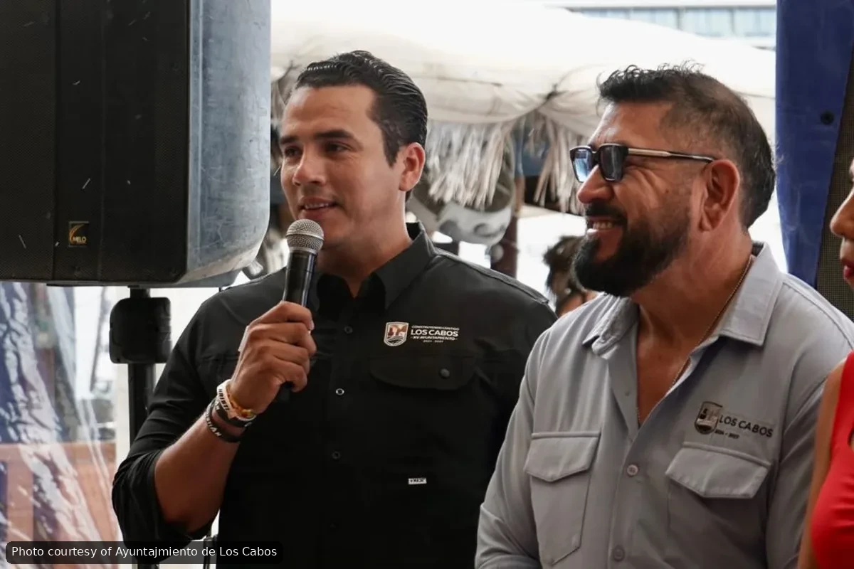
Municipal officials estimate the race will generate about $35 million USD in economic activity across the municipalities it touches: Los Cabos, La Paz, Comondú, Mulegé and Loreto. Around 300 teams had already pre-registered as of the route announcement, with drivers expected from more than 20 countries and roughly 20 U.S. states, according to Ana Gabriela Navarro González, Los Cabos’ municipal tourism director, speaking at the press event reported by the Los Cabos city government.
City officials also said they hope the Cabo-to-Cabo format becomes a recurring fixture rather than a one-off, citing the race’s draw for international visitors during a period when tourism traditionally needs a boost. Past editions have occasionally caused friction over road conditions, including past instances where organizers and local authorities arranged funding or insurance to repair roads damaged by the race.
What to Watch For
Expect more detailed closure schedules and checkpoint locations as the November 9 start date approaches. Anyone planning travel along Highway 1 or the East Cape roads during race week should check for updates from Los Cabos municipal authorities or SCORE International closer to the event.
