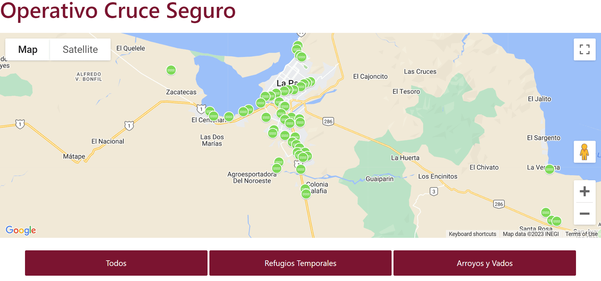
The greater La Paz area is known for its arroyos, which are dry river beds that can become suddenly active during stormy weather. Historically, residents and visitors alike have faced challenges determining which arroyos are safe to cross during these storms. To address this concern and enhance public safety, a new innovative map has been launched.
This map offers a real-time color-coded system, making it easier than ever to assess the safety of these arroyos during inclement weather. Arroyos marked in Green indicate they are safe to cross. Those in Yellow suggest that individuals exercise caution. Most importantly, Red-marked arroyos are deemed unsafe and should not be crossed under any circumstance.
For quick and easy access to this life-saving tool, visit www.lapaz.gob.mx/ and take a short scroll down. Ensuring the safety of the community, this map is a must-see for everyone in the La Paz region. Remember, always prioritize safety during stormy weather!


